

It is small, it is easy to handle, it provides a good overview of damage situations within a very short time - the advantages of the new photo drone from I.S.A.R. Germany go on and on. But the experts from the German aid organisation don't have much time in an emergency. Jörg Bauchle from the German Aerospace Centre (DLR) knows this too. As one of three DLR employees, the Berlin-based I.S.A.R. Germany provides support in aerial reconnaissance and is also available to analyse aerial images in the event of an emergency. The cooperation between I.S.A.R. Germany and DLR has been in place since last autumn.
„This means we can determine what damage is to be expected in an area of operation even before a ground-based assessment takes place,“ explains Bauchle, citing another crucial advantage of the Quattrocopter: „Even before we leave for a damage site, we can use our image material to determine the condition of the roads leading there. Are there broken tarmac roads or even roadblocks? Are crowds of people to be expected or are fallen trees blocking an access route?“
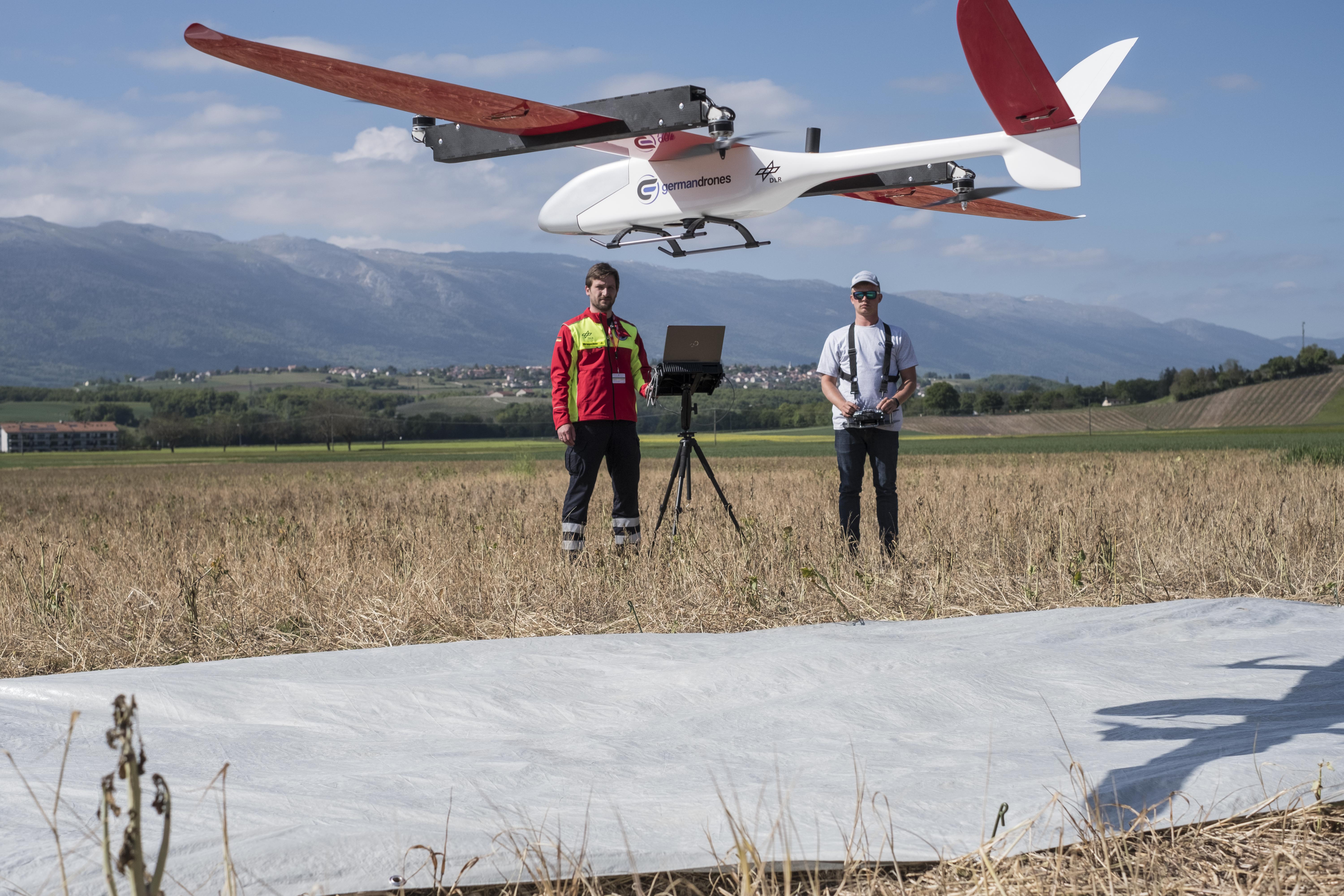
The drone made of an ultra-light fibreglass-carbon composite is ready for use within ten minutes and can fly over an area of one and a half square kilometres in a quarter of an hour. For pilot Sascha Kellner from the manufacturing company Germandrones, the seven-kilogram flying object with the fitting name „Songbird“ is an affair of the heart. He has been working with drones for 13 years. What used to be a hobby is now his profession, with which he pursues clear goals: „It's a good feeling when you can help other people with your work. With the „Songbird“, we have this opportunity by supporting I.S.A.R.“
The Achilles 2017 exercise in southern Switzerland was the first time that the device, which will also take off and land automatically in the future, was tested under real operating conditions. It was a complete success for the DLR team, as Jörg Bauchle reported: „We were able to fly over the entire training village and were also able to take overview images of the base camps of the individual teams.“
The team of image data analysers from DLR I.S.A.R. Germany will also support future missions. The dress rehearsal for this has already worked.
Photos: Paul-Philipp Braun
-
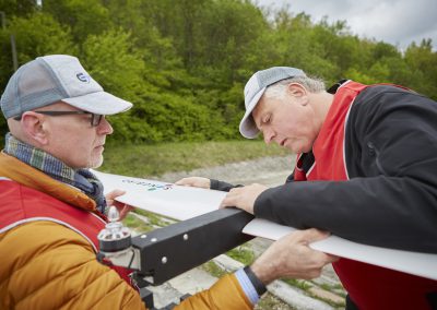
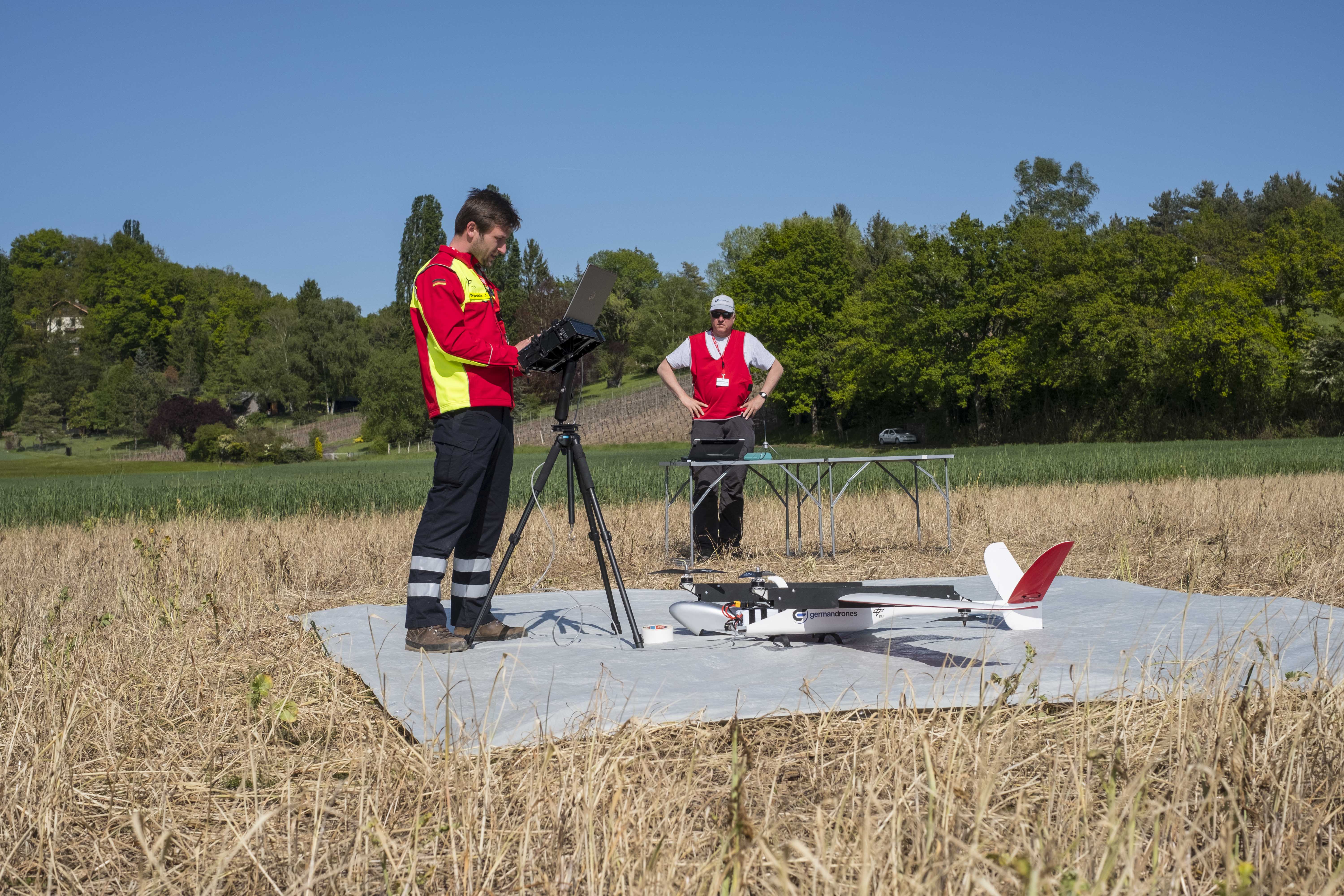
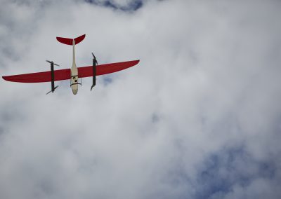
Thanks to a cooperation with the German Aerospace Research Centre DLR and the company Germandrones, ISAR Germany has a unique mapping system at its disposal. The vertical take-off aircraft can fly over an operational area at high speed and create georeferenced aerial images using a high-resolution camera. These maps are immediately available for mission planning.
-
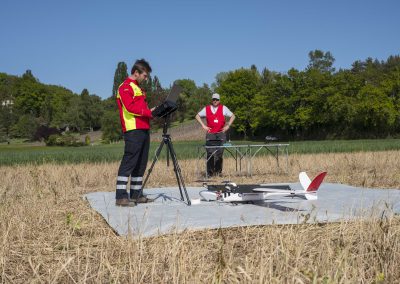
A joint team from Germandrones and the German Aerospace Centre supported the I.S.A.R. Germany during the Achilles 2017 exercise in Switzerland. Using a photo drone, they flew over the damage area in the exercise village of Epeisses and the base of operations to obtain detailed aerial photographs.
-
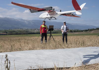
A joint team from Germandrones and the German Aerospace Centre supported the I.S.A.R. Germany during the Achilles 2017 exercise in Switzerland. Using a photo drone, they flew over the damage area in the exercise village of Epeisses and the base of operations to obtain detailed aerial photographs.
-
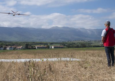
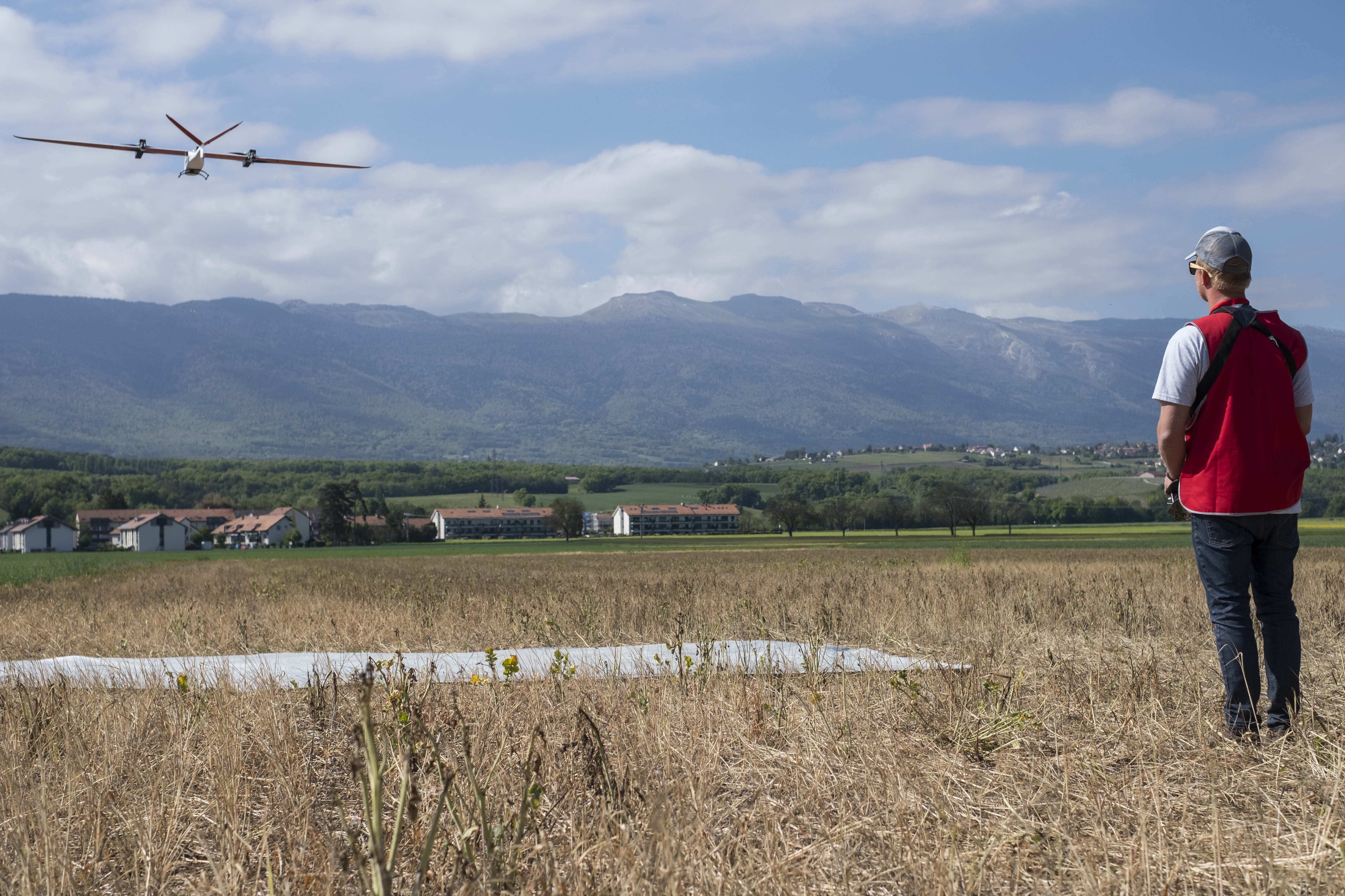
A joint team from Germandrones and the German Aerospace Centre supported the I.S.A.R. Germany during the Achilles 2017 exercise in Switzerland. Using a photo drone, they flew over the damage area in the exercise village of Epeisses and the base of operations to obtain detailed aerial photographs.
-
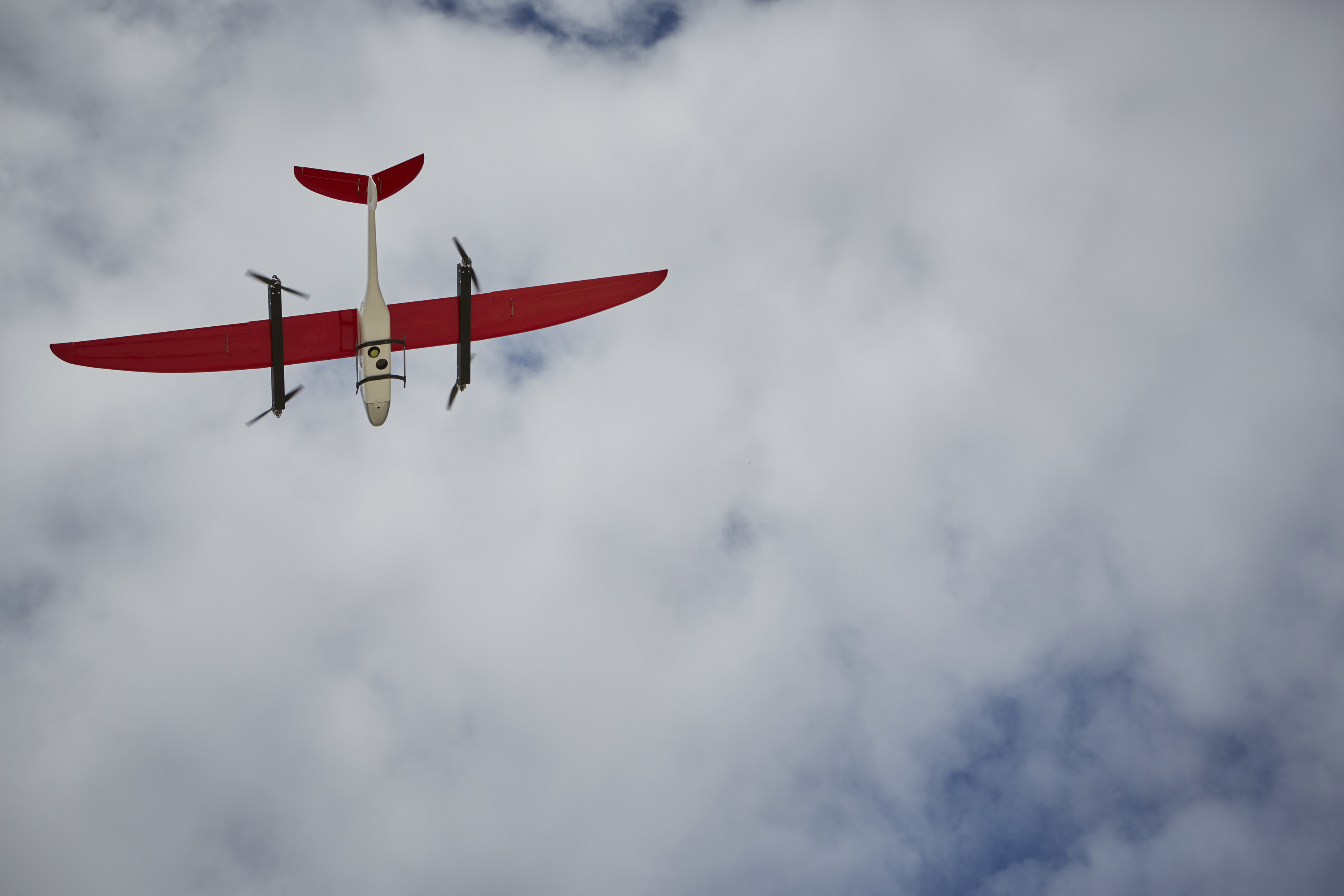
Thanks to a cooperation with the German Aerospace Research Centre DLR and the company Germandrones, ISAR Germany has a unique mapping system at its disposal. The vertical take-off aircraft can fly over an operational area at high speed and create georeferenced aerial images using a high-resolution camera. These maps are immediately available for mission planning.